You are hereAcidfree Albums / Maps
Maps
1
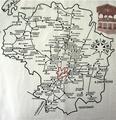
This folder contains a scanned images of a reference guide to maps in the 1:50,000 series that have been uploaded recently. This series of maps was produced in 1970's and 1980's. As has been previously discussed the border between the estados seems to be and who know what other inaccuracies might exist. Also included is the legend for the maps.
4
Maps showing the changing political boundaries of Mexico, early maps of New Spain and New Galicia.


