You are hereAcidfree Albums / Maps / Historical Maps of Mexico
Historical Maps of Mexico
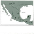
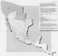
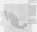
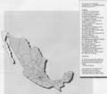
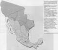
Maps showing the changing political boundaries of Mexico, early maps of New Spain and New Galicia.
11
State borders as of 1982 with Quintana Roo and Baja California Sur as states and demarcating exclusive maritime economic zone.
15
State borders as of 1857, showing territory lost to the United States during the Mexican-American War.

